The following screenshots present work in progress regarding the process of converting airborne Lidar point clouds into multi resolutions meshes suitable for real-time rendering. They were obtained using the open data from the Lidar HD programme of the french geographical institute (IGN). The render engine for these screenshots was Unreal 5.2.
The process up-hill of rendering is mainly three steps :
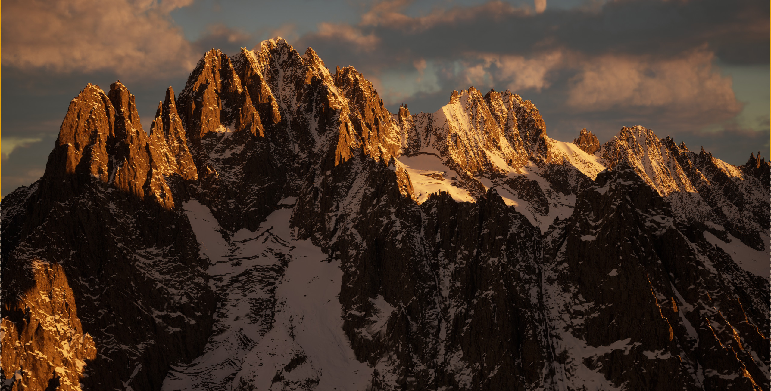
Note that for rendering the source data is only
the geometric location of the mesh points. There are no
UV maps, no textures, the albedo is a three line
shader function that separates snow from rock based on
slope, altitude and orientation.
At present, nowhere in the whole process a raster (e.g. orthophoto)
or vector data (e.g. landclass) is used. Vector data will later
improve some misclassification (e.g. too steep ice falls are rendered
as rock).